


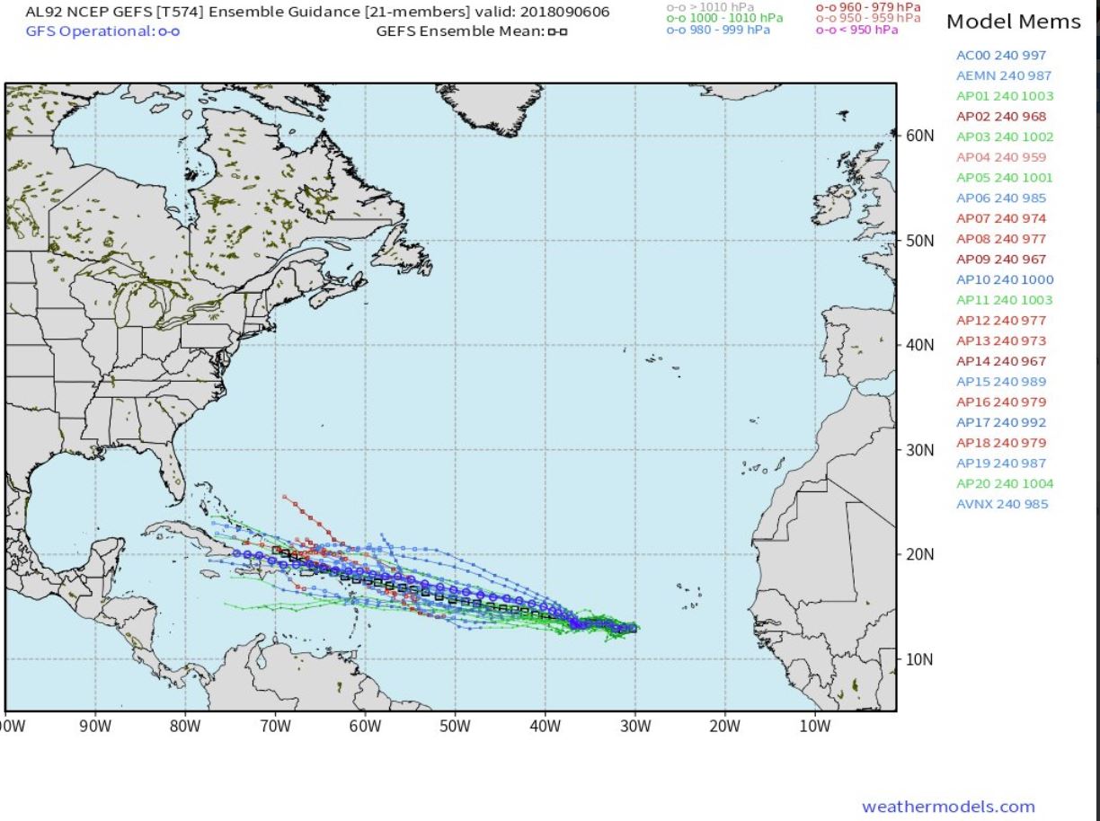
Graphic by weathermodels.com
Computer models at this time generally agree that Invest 92L will take a WNW course, and the National Hurricane Center’s latest update forecasts a 90-percent chance the low-pressure system will develop into a named storm, Helene, over the next five days.
“Helene will be named in next day or so and head WNW,” said Weathermodels.com Meteorologist Ryan Maue.
Per the NHC 8 a.m. EDT update, there is a 70 percent chance the storm will develop within the next 48 hours
“A broad and elongated area of low pressure is centered several hundred miles west-southwest of the Cabo Verde Islands. The associated shower and thunderstorm activity has changed little in organization since yesterday, and there are no indications yet that the system has a well-defined center of circulation,” stated NHC Forecaster Robbie Berg.
However, Berg stated that environmental conditions are conducive for development. “A tropical depression is expected to form within the next few days while the system moves slowly westward or west-northwestward across the tropical Atlantic Ocean.”
Additionally, officials are monitoring two other systems currently in the Atlantic.
Tropical Storm Florence, which could impact the U.S. East Coast, and a tropical wave, which is forecast to move tomorrow off the west coast of Africa.
According to the NHC, the developing wave has a 50 percent chance of development over the next five days. It would be named Isaac, if it develops into a named storm.
“Some development of this system is anticipated after (Friday), and a tropical depression could form over the weekend or early next week while the wave moves westward or west-northwestward over the far eastern tropical Atlantic Ocean,” stated Berg.


