


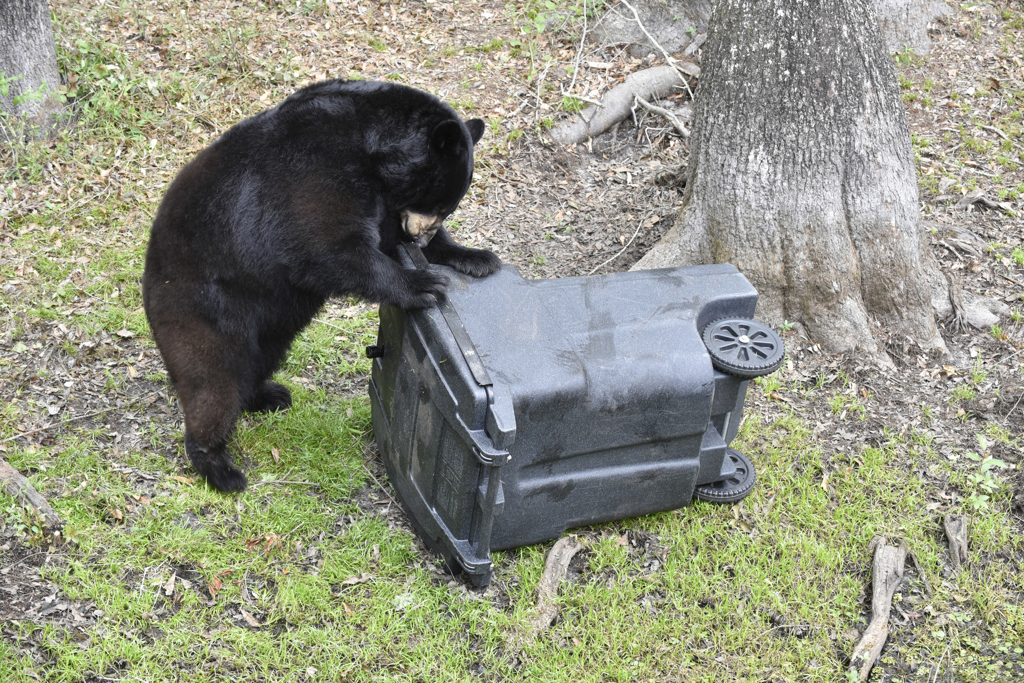
Through a new tool developed by Santa Rosa County’s GIS department, students from West Navarre Primary School are planning to study and help track the community’s bear population.
“Tanya Gallagher, our GIS coordinator, created the map and app. She’s been the driving force behind it,” stated Santa Rosa County GIS Analyst III Elizabeth Brumfield. “(Tanya’s) got a PhD and all these amazing ideas.”
During her PhD studies in Forestry at the University of British Columbia, Gallagher studied in a landscape ecology lab where she used GIS, satellite imagery and historical aerial imagery to examine the impact of landscape change on groundwater quality.
“I have over a decade of experience working with and teaching GIS and have taught for many years for the UWF’s online GIS certificate program as well as contributed to projects for NASA, the Florida Sea Grant and the National Science Foundation,” she said.
When Marsha Harp, a WNPS teacher, reached out to the county GIS department to request a wall map for a school project to track bears, it reminded Gallagher of similar projects she had come across while at UBC.
“Our lab at UBC was involved in many wildlife monitoring projects for everything from mapping caribou habitat fragmentation in the interior of British Columbia to monitoring ptarmigan nesting areas on Vancouver Island,” she said.
Gallagher also knew ESRI, the company where the county purchases its GIS software, provides free GIS software bundles for K-12 classrooms upon request.
“When I mentioned this to Marsha, she quickly took action,” said Gallagher, who said she met up with Harp to show her how to build the survey and web map and that the students have been tracking bears ever since.
“It’s a true joy to be able to engage with and expose students to the power of GIS at such a young age! Marsha is a champion of STEM education, and it’s been a pleasure getting to work with her on this project,” Gallagher said. “It’s teachers like Marsha, with a passion for science and heart for teaching that gets kids excited about a future in STEAM. I’m happy our GIS team is able to be a part of it all.”
Additionally, students are mapping reported sightings on a wall map, also provided by the county’s GIS department and a dedicated Facebook group called “The Bear Project – Navarre” has been created to further aid the effort.


